MobilityDB provides a set of spatiotemporal types, namely, tgeometry (temporal geometry), tgeography (temporal geography), tgeompoint (temporal geometry point), tgeogpoint (temporal geography point), tcbuffer (temporal circular buffer), tnpoint (temporal network point), tpose (temporal pose), and trgeometry (temporal rigid geometry). At a conceptual level, these spatiotemporal types are organized in the hierarchy depicted in Figure 7.1, “Hierarchy of spatiotemporal types in MobilityDB.”.
In this chapter and the following one we cover the type TGeo and its subtypes, that is, the spatiotemporal types derived from the PostGIS types geometry and geography. In the subsequent chapters we continue describing the remaining spatiotemporal types.
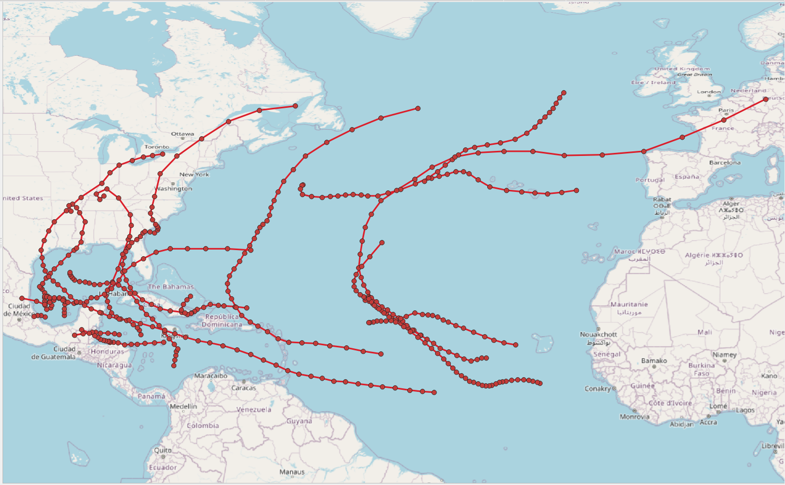
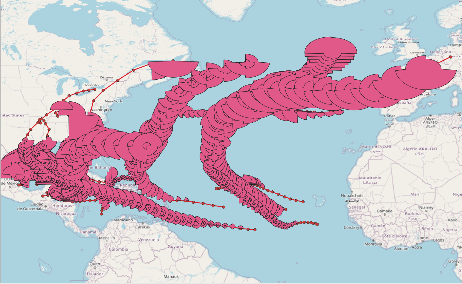
Figure 7.2, “Illustration of the use of the tgeompoint (top) and the tgeometry (bottom) types for modelling the trajectory and the wind swath of tropical storms in 2024.” illustrates the use of the tgeompoint (top) and the tgeometry (bottom) types for modelling the trajectory and the wind swath of tropical storms in 2024. The data is obtained from the National Oceanic and Atmospherique Administration (NOAA). As illustrated in the figure, the type tgeompoint allows linear interpolation, while the type tgeometry only allows step interpolation.